Safety and scientific rigour are at the heart of the proposed Planetary project to restore the climate and the ocean using Ocean Alkalinity Enhancement (OAE).
In May 2023, Planetary carried out baseline survey work in St Ives Bay, as previously announced. This work marked the next step in our longer-term monitoring programme in St. Ives Bay, which is designed to assess the implications of our controlled alkalinity addition before, during and after the pilot project.
In order for the monitoring programme to be effective, we take a ‘snapshot’ of environmental conditions prior to the start of the alkalinity addition. This ‘baseline’ data collected in May will act as a reference point, against which future monitoring data, collected during and after any alkalinity addition, can be compared.
In addition to creating a baseline in terms of time, we create a baseline in terms of space, where we can compare any changes nearby to changes further away. This is especially important because the ocean is constantly changing, and climate change accelerates those changes. For this reason, Planetary also established a control sampling site some distance away from the project area, so that natural variation can be distinguished from any impacts resulting from the pilot.
Some existing information on marine environmental conditions is available for the project area in St Ives Bay, which can add to our baseline. However, some of the information is relatively outdated, does not cover the key project area or is not easily accessible. By adding our newly collected data to existing data stores, we enrich and extend the data that numerically describes this part of the Cornwall coast.
The main objective of our monitoring programme is to ensure that the proposed alkalinity addition causes negligible environmental changes, as predicted by our laboratory studies, scientific literature review, and site-specific modelling work. The insights provided by the monitoring data will allow the pilot project to be managed adaptively, with any alkalinity addition paused or slowed if unexpected environmental impacts are observed.
We have designed a survey scope to target the key environmental aspects that are most likely to be affected by the project and where any impacts can be measured practically. In practice, this means focusing on water and sediment quality together with organisms at the base of the food chain.
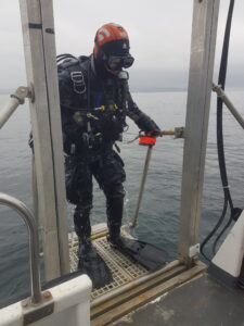
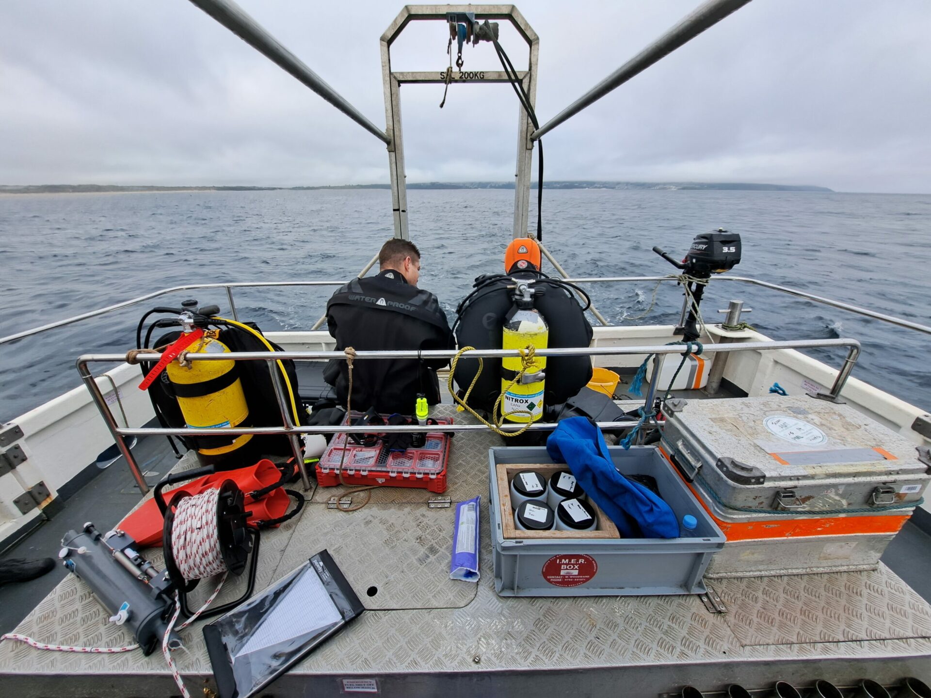
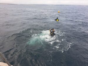
The May baselining work was centred around dive surveys of the seabed ecology and assessing the chemistry and biology in the water column. Three locations around the outfall were surveyed, with one location immediately adjacent to the outfall and two locations around 50 m to the north-east and south respectively. The dive team also established a representative control site with similar seabed conditions around 5 km to the west, after investigating some different options.
On the dive surveys, a team of trained marine scientists recorded detailed information on the habitats and species occurring at each of the four survey locations by following a measured survey grid, with findings documented using HD video. This data will be analysed to assess ecosystem status, species richness and abundance. These metrics will be tracked over time at the project location relative to the control site. By using a dive team instead of drop or remotely operated underwater vehicles, we were able to gain as comprehensive an understanding of seabed conditions as possible.
During the dive surveys, the team also collected small quantities of sediments from each of the survey locations, which are currently undergoing laboratory analysis to determine the levels of around 30 elements (mostly trace metals). Understanding sediment trace metal levels is particularly relevant, given the legacy mining contamination which persists in some Cornish estuaries and bays. The possible presence of trace metal impurities in the added alkalinity is also a key focus for the monitoring programme.
The divers also gathered specimen samples of invertebrates from three locations, which will be subject to elemental analysis for a suite of 35 elements. Tissue analysis like this can be a valuable tool to understand bioaccumulation of trace metals in living organisms and can be an important baseline data for comparisons in the future.
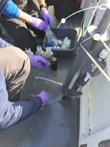
On the surface of the ocean, a separate team carried out water quality sampling at each of the survey locations. This consisted of water profiling by lowering and raising an instrument known as a CTD through the water column, which has a package of sensors to measure various physiochemical parameters such as temperature, conductivity, pH, CO2 levels, salinity, dissolved oxygen and turbidity (water clarity).
To accompany the CTD profiles, triple sets of water samples were also collected from each location using an oceanographic instrument called a Niskin sampler, which uses a drop messenger to allow water to be collected from a given depth. These water samples are currently undergoing analysis for a suite of 20 elements (predominantly trace metals), as well as for levels of total suspended solids (TSS). TSS is a particularly important parameter to understand because a significant increase in TSS levels can potentially affect light transmission through the water column, with knock-on effects for marine organisms. Planetary will be using on-going TSS measurements to validate that no addition exceeds regulations or causes biological safety issues.
Samples were also collected from each of the survey locations for both phytoplankton and zooplankton. This sample is critical because plankton are at the base of the food chain, and since they are microscopic, they are most likely to be affected by the addition of alkalinity. Even though other experiments in the lab and the ocean have shown no adverse effect on plankton, we will monitor these closely to ensure that there is no impact.
Phytoplankton samples were gathered using the Niskin sampler and zooplankton samples were collected by carrying out vertical trawls through the water column with a finely-meshed conical net. As the zooplankton net is slowly raised up from depth, zooplankton in the water column are trapped inside and are then carefully transferred to sampling jars as the net is washed down with seawater once back onboard the survey vessel. The plankton samples are currently undergoing laboratory analysis, where they will be identified to functional taxonomic group and enumerated.
Once data analysis is complete, the results of the May baselining work will be compiled into a summary report, which will be published on our website. Any unanticipated findings could produce changes to the planned project. Planetary has committed, through our code of conduct, that we prioritise positive environmental impacts. Safety first! The survey work in St Ives bay, along with all our other baselining and safety work, will help ensure that the project brings about improvements in the climate and the ocean with no negative impact on the existing sealife.
